SPECIAL SESSION #10
Geomatics for sustainability: from remote sensing and survey techniques to maps and Geographical Information System (GIS)
ORGANIZED BY
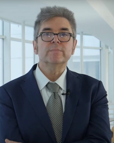 Claudio Parente
Claudio Parente
Parthenope University of Naples - Department of Science and Technology, Italy
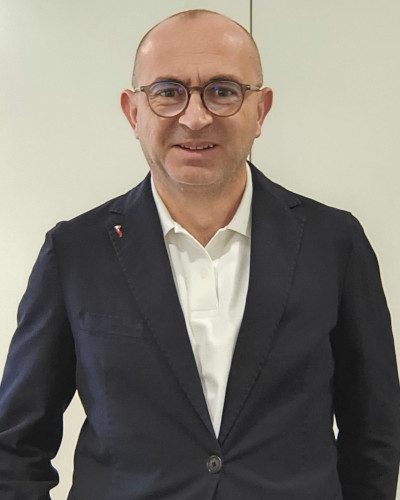 Ugo Falchi
Ugo Falchi
Parthenope University of Naples - Department of Science and Technology, Italy
.jpg) Giuseppina Prezioso
Giuseppina Prezioso
Giuseppina Prezioso
Parthenope University of Naples - Department of Science and Technology, Italy
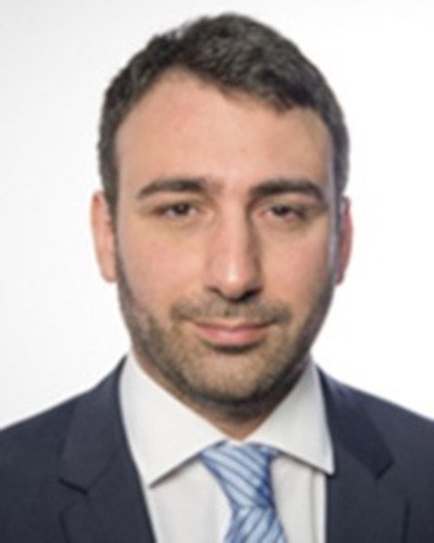 Pasquale Maglione
Pasquale Maglione
Parthenope University of Naples - Department of Science and Technology, Italy
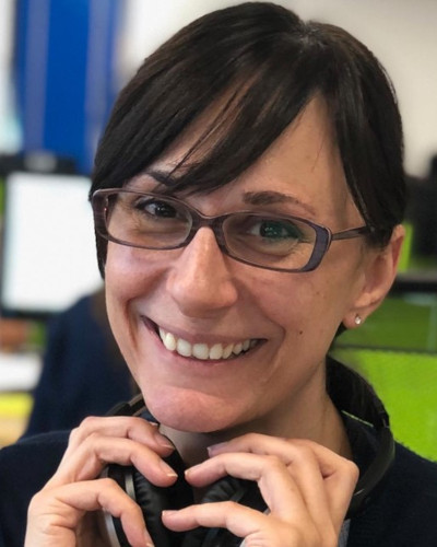 Francesca Guastaferro
Francesca Guastaferro
AlmavivA Digitaltec
SPECIAL SESSION DESCRIPTION
Defined by United Nations Brundtland Commission as “meeting the needs of the present without compromising the ability of future generations to meet their own needs”, sustainability is a complex concept that intersect many aspects of the Earth planet and human life. As remarked by U.S. Environmental Protection Agency (EPA), to pursue sustainability is “to create and maintain the conditions under which humans and nature can exist in productive harmony to support present and future generations”.
Achieving these objectives requires detailed knowledge of what surrounds us: it is necessary to know the configuration of places, the nature of the components, the modeling of reality, the reconstruction of past scenarios and the projection of future scenarios, including social and economic aspects. To do all this, the role of Geomatics becomes primary, that is, those techniques that range from the acquisition of topographic data through direct or remote surveying, to cartographic representation, three-dimensional modelling and integrated management of multiple data, morphological and thematic, in a georeferenced archive (Geographic Information System, GIS).
In this session, we will focus on all types of Geomatics techniques, from data acquisition to representation and model, including topographic survey, GNSS (Global Navigation Satellite System) survey, remote sensing from drone, aircraft and satellite, single beam and multibeam bathymetric survey, side scan sonar seafloor exploration, underwater surveys with photo/video capture, GIS maps and models. In consideration of international scenarios, research papers and professional applications concerning technical aspects related to topographic instruments and methods, sensors on drone, aircraft, and satellite for acquiring data with high temporal and geometric resolution, data processing and GIS are welcome.
This session aims to collect contributes coming from experts of several areas using geomatics techniques (not only geomaticists but also ecologists, geologists, oceanographers, economists, demographers, … ) and concerning both methodological subjects and concrete applications for topics related to Earth surface investigation and/or GIS maps and models. The attention will be focused on land, air, water, biological, economic and social data acquisition and processing, with particular attention for GIS applications, thematic map production, 3D model construction, feature detection, water quality, air quality, impacts of climate changes and catastrophic events, natural ecosystems and human settlements.
The experience of research centers and the recent developments in the field of measurement systems and techniques applicable for sustainability, will be particularly valuable for the aims of this session.
TOPICS
Here are some examples of accepted topics:
- Topographic survey techniques based on total station, GNSS, and laser scanning;
- GNSS-supported unmanned aircraft vehicles (UAV) for agricolture;
- Light-detection and ranging (LiDAR) systems;
- Remote Sensing systems and techniques;
- Synthetic aperture radar (SAR) systems;
- Unmanned survey systems and their applications;
- Hydrographic survey techniques, including single beam, multibeam, and side-scan sonar;
- Satellite Derived Bathymetry;
- Multispectral and hyperspectral image processing;
- Urban heat islands;
- Machine learning in image analysis;
- Coastline detection techniques;
- Data fusion techniques;
- 3D model construction and representation (Digital Terrain Models, DTMs);
- Thematic map production;
- GIS data processing and models;
- Recent developments in the field of measurement systems and techniques;
- Ecosystem analysis and habitat mapping;
- Social and economic data processing.
ABOUT THE ORGANIZERS
Claudio Parente is a Full Professor of Geomatics and Co-Director of the Laboratory of Geomatics, Remote Sensing and GIS at the Parthenope University of Naples, Department of Science and Technology. He holds a degree in Civil Engineering from the University of Naples "Federico II", a Master’s degree in "Sciences and Engineering of the Sea", and a PhD in "Geodetic and Topographic Sciences" from the Naval University of Naples. His research interests span various fields of Geomatics, including remote sensing, GIS, cartography, digital terrain modeling, and hydrographic and land surveying. He served as Vice-Director of the Department of Science and Technology (2022–2025) and Coordinator of the Master’s Degree Program in Science and Technologies of Navigation (2019–2025). He has both participated in and coordinated numerous research projects focusing on Geomatics, GIS, and remote sensing. Additionally, he has organized special sessions at international conferences and served as a guest editor for special issues in indexed international journals. Currently, he is the Coordinator of the PhD program in Environment, Resources and Sustainable Development at the Parthenope University UNESCO Chair. He has authored or co-authored more than 140 national and international publications, with a strong presence in major scientific databases such as Scopus and Web of Science.
Ugo Falchi is an Associate Professor of Geomatics and Co-Director of the Laboratory of Geomatics, Remote Sensing, and GIS at the Parthenope University of Naples. , Department of Science and Technology. In recent years, his primary research interests have focused on the organization, processing, management, and querying of cartographic, territorial, and environmental data. Additionally, his work includes feature extraction from satellite imagery and applications in operational geodesy. Over the past 20 years, he has held various teaching positions in geomatics-related disciplines, including photogrammetry, geodesy, and cartography. Since 2006, he has served as a member and tutor of Doctoral Colleges and has participated in numerous scientific projects of national and international significance. He is the author or co-author of several scientific articles indexed in major databases such as Scopus and Web of Science.
Giuseppina Prezioso is an Associate Professor of Geomatics at the Department of Science and Technology of the Parthenope University of Naples. She graduated, cum laude, in Nautical Sciences (Geodetic field) and obtained a Ph.D. in “Geodetic and Topographic Sciences” from the Parthenope University of Naples. She is responsible for the Laboratory of Topography and Photogrammetry and is currently a member of the Academic Board of the Ph.D. program in “Environmental Phenomena and Risks (FERIA)”. Her research activity focuses on several topics related to Geomatics and its applications, including Geodesy and Cartography, Remote Sensing, GNSS, and GIS. She is a co-author of articles published in international scientific journals and conference proceedings indexed in major databases such as Scopus and Web of Science.
Pasquale Maglione conducts research and teaching activities in the field of geomatics at the Department of Science and Technology, Parthenope University of Naples. He holds a Master’s degree in Environmental Sciences and a PhD in Geodetic and Topographic Sciences from the same university. His research interests include remote sensing, image processing and data fusion—particularly pan-sharpening—GIS, geodesy, cartography and surveying. His work focuses on the analysis of territorial change and the assessment of the geometric and positional accuracy of geospatial data. In recent years, he has contributed to studies on coastal monitoring and the development of methodologies for mapping the potential impacts of climate change, including sea-level rise and urban heat islands. His current research centres on bathymetric modelling using high-resolution satellite imagery, with particular emphasis on innovative methods for data extraction and validation. He has authored and co-authored several publications in international scientific journals and conference proceedings indexed in major databases such as Scopus and Web of Science. He has also held teaching appointments at the Parthenope University of Naples and currently serves on examination boards for several degree programmes. Furthermore, he has chaired sessions at national and international scientific conferences.
Francesca Guastaferro is a Senior GIS Analyst and Earth Observation Specialist at AlmavivA Digitaltec and a Adjunct Professor of Remote Sensing at the Parthenope University of Naples. She holds a Ph.D. in Geodetic and Topographic Sciences and a degree in Environmental Science, awarded with highest honors, from the Parthenope University of Naples. . Her professional and research activities focus on Geographic Information Systems (GIS), satellite image processing, environmental and agricultural monitoring, as well as burned-area and coastline mapping. She has extensive experience working with Sentinel and Landsat data and has contributed to numerous national and international projects concerning environmental protection, territorial monitoring, precision agriculture, and Common Agricultural Policy (CAP) applications. She has authored and co-authored several scientific publications in the fields of remote sensing, geomatics, and environmental monitoring. Her articles are indexed in major scientific databases, such as Scopus and Web of Science.